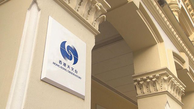
The Observatory will issue No. 8 Southeast Gale or Storm Signal at 1:20 p.m.
發佈日期: 2025-09-24 12:58
TVB News


The Observatory will issue the No. 8 Southeast Gale or Storm Signal at 1:20 p.m. today.

With Ragasa moving towards the coast of western Guangdong, its associated hurricane force winds will also depart from Hong Kong gradually.

The Hurricane Signal, No. 10, is in force. This means that winds with mean speeds of 118 kilometres per hour or more are expected.

At 1 p.m., Super Typhoon Ragasa was centred about 170 kilometres southwest of Hong Kong (near 21.4 degrees north 112.8 degrees east) and is forecast to move west or west-northwest at about 22 kilometres per hour edging closer to the vicinity of the western coast of Guangdong.

Local weather will be persistently adverse today with frequent heavy squally showers and thunderstorms. Seas will be phenomenal with swells.

There will be overtopping waves over the shoreline, which will be particularly significant along the eastern and southern coasts. Members of the public should stay away from the shoreline and not engage in water sports.

The storm surge brought by Ragasa caused a general rise of more than 1.5 metres in water levels over the territory.

The water level recorded at Victoria Harbour was once about 3.4 metres above Chart Datum, while the maximum water level at Tai Po Kau and Tsim Bei Tsui tide station was about 3.8 metres above Chart Datum.

Local water levels over the coastal areas will fall progressively in the afternoon.
